Plan + measure
Import a picture or PDF, export a CAD plan to either format, or scan a room in real time with LiDAR + camera. Record and review your floor readings.
Floor measurement app
Bring floorplans and elevation readings together. FloorContour turns your survey into contours, 3D views, and material estimates you can review and share.
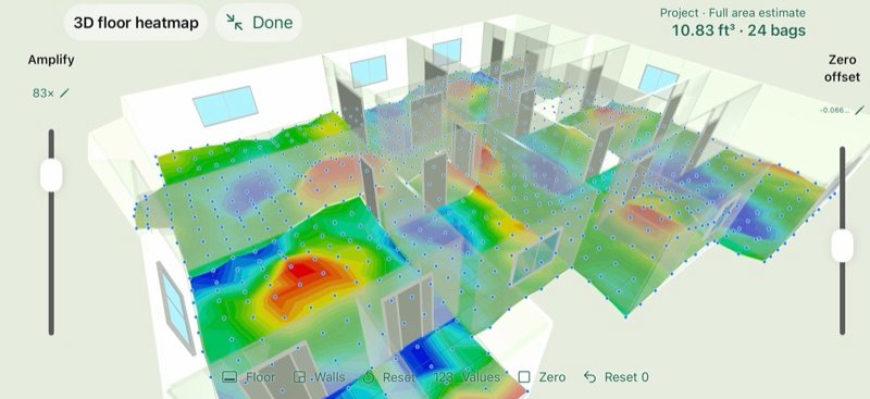
Inside FloorContour
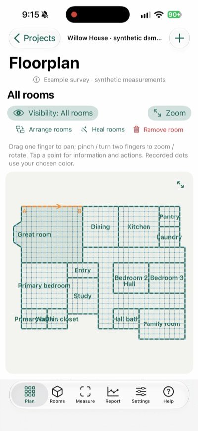
Import a picture or PDF, including a plan exported from CAD. Set the scale and review the room outlines.
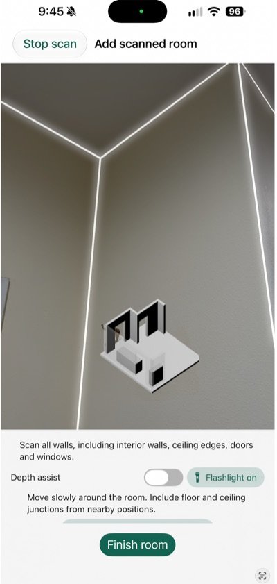
Scan walls, doors, and windows in real time with LiDAR + camera on a compatible iPhone.
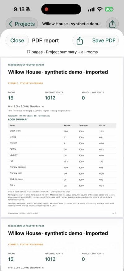
Keep project totals, room details, and floor visualizations together in a PDF report.
Actual app captures. The house survey uses synthetic readings; the LiDAR image shows a real room scan.
Built with intention
Import a picture or PDF, export a CAD plan to either format, or scan a room in real time with LiDAR + camera. Record and review your floor readings.
Explore contours and heatmaps with adjustable 2D and 3D views. Keep measured points and modeled coverage in context.
Review fill volumes and estimated bags, then export PDF, CSV, or an editable project file.
How it works
Scale the plan, review room boundaries, and choose the grid and measurement references.
Confirm each reading and inspect floor highs, lows, coverage, and the target zero plane.
Choose the estimate basis, enter product yield and waste, and share a report with its assumptions.
Learn more
Features, availability, and the latest product details are available on the dedicated product website.
Visit floorcontour.com